Hurricane Lorenzo Forecast Verification
Written by Derek Ortt on December 3, 2007
The track forecasts for Hurricane Lorenzo were generally very good. The only significant source of error was not anticipating the acceleration near the coastline and after landfall. The forecasts indicated a continued slow motion. This is the primary reason why the 12 hour error was near that from CLIPER and the 10-year NHC mean error. The forecasts at all other time periods had errors less than these two benchmarks.
In contrast, the intensity forecasts were quite poor. The rapid intensification near landfall was not expected and the error is significantly worse than the long term NHC mean. Only at the T36 time period were the errors less than the long term mean. Intensification just prior to landfall is one area of forecasting that needs to be improved.
The unexpected intensification and the faster forward speed near landfall resulted in the Hurricane Warning being recommended only about 12 hours prior to landfall. ideally, a Hurricane Warning is recommended at least 24 hours prior to landfall. In this case, the first recommendation was a Hurricane Warning as when it would have been time to recommend a Hurricane Watch, Lorenzo was still a poorly organized depression that showed no signs of becoming a hurricane.
For synoptic history, as well as official watches and warnings, please see the National Hurricane Center Tropical Cyclone Report.
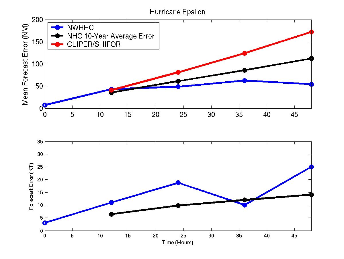
Mean track and intensity errors for Hurricane Lorenzo.
Click Here for individual track/intensity error statistics.
Table of Recommended Watches and Warnings
1830 UTC 9/27 Hurricane WARNING: Tuxpan, Mexico to Vericruz, Mexico
2100 UTC 9/27 Hurricane WARNING: Extended north to Tamiahua
2100 UTC 9/27 Tropical Storm Warning: Tamiahua to Tampico
1200 UTC 9/27 All Warnings Dropped
Back to Verification Index